Local Authority Housing
Introduction
The photograph on this page of Local Authority Housing by Bob Forrest as part of the Geograph project.
The Geograph project started in 2005 with the aim of publishing, organising and preserving representative images for every square kilometre of Great Britain, Ireland and the Isle of Man.

There are currently over 7.5m images from over 14,400 individuals and you can help contribute to the project by visiting https://www.geograph.org.uk
Local Authority Housing
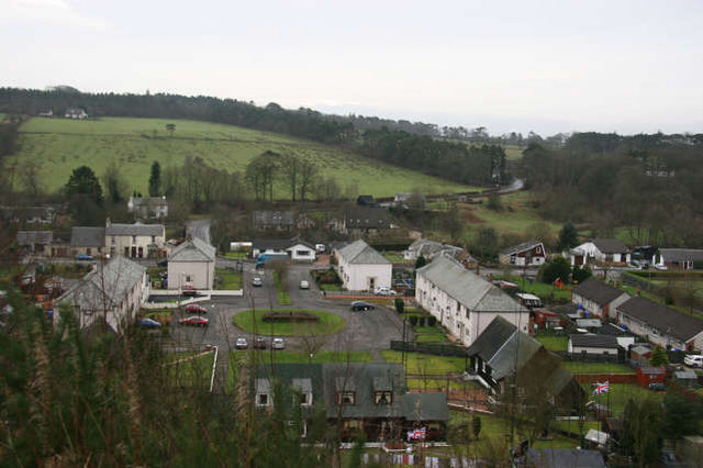
Image: © Bob Forrest Taken: 2 Feb 2007
An area of council housing adjacent to the junction of the B743 to Muirkirk with the B713 to Catrine over the Glenlogan road bridge. The photograph was taken from a new path network, which here skirts along the edge of the steep slope behind Sorn village and which links up with other paths giving public access to walks through some of the surrounding estate lands.
Images are licensed for reuse under creativecommons.org/licenses/by-sa/2.0
Image Location
Latitude
55.509864
Longitude
-4.288151