Warden Hill United Reformed Church
Introduction
The photograph on this page of Warden Hill United Reformed Church by Richard Dorrell as part of the Geograph project.
The Geograph project started in 2005 with the aim of publishing, organising and preserving representative images for every square kilometre of Great Britain, Ireland and the Isle of Man.

There are currently over 7.5m images from over 14,400 individuals and you can help contribute to the project by visiting https://www.geograph.org.uk
Warden Hill United Reformed Church
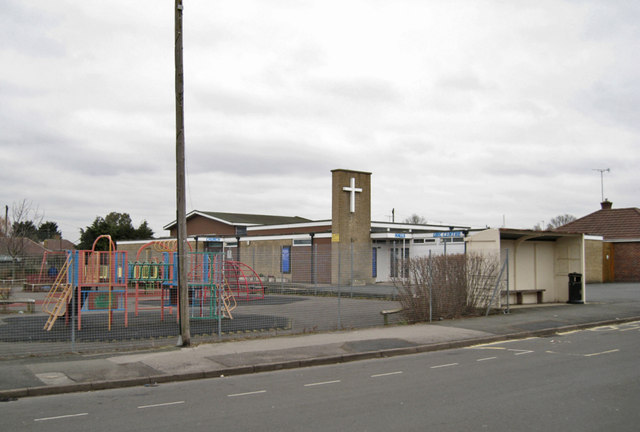
Image: © Richard Dorrell Taken: 3 Mar 2013
Located in Salisbury Avenue and built in the 1950s. On 16 January 2010 Warden Hill United Reformed Church and St Christopher's Church, Warden Hill (see Image] ) entered into a Local Ecumenical Partnership. All services are now united and the venues alternate on a weekly basis between the two buildings.
Images are licensed for reuse under creativecommons.org/licenses/by-sa/2.0
Image Location
Latitude
51.88257
Longitude
-2.099471