Demolition of high rise tower block
Introduction
The photograph on this page of Demolition of high rise tower block by William Starkey as part of the Geograph project.
The Geograph project started in 2005 with the aim of publishing, organising and preserving representative images for every square kilometre of Great Britain, Ireland and the Isle of Man.

There are currently over 7.5m images from over 14,400 individuals and you can help contribute to the project by visiting https://www.geograph.org.uk
Demolition of high rise tower block
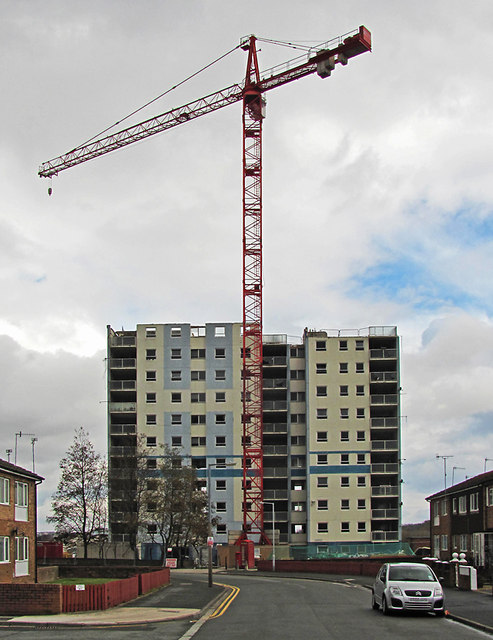
Image: © William Starkey Taken: 17 Mar 2013
Demolition work in progress on a high rise tower block in Moreton.
Images are licensed for reuse under creativecommons.org/licenses/by-sa/2.0
Image Location


Leaflet Map data © OpenStreetMap
Latitude
53.397357
Longitude
-3.098566