Seaton : Open Space
Introduction
The photograph on this page of Seaton : Open Space by Lewis Clarke as part of the Geograph project.
The Geograph project started in 2005 with the aim of publishing, organising and preserving representative images for every square kilometre of Great Britain, Ireland and the Isle of Man.

There are currently over 7.5m images from over 14,400 individuals and you can help contribute to the project by visiting https://www.geograph.org.uk
Seaton : Open Space
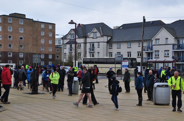
Image: © Lewis Clarke Taken: 10 Mar 2013
People gathering on the open space in Seaton near The Underleft and Harbour Road.
Images are licensed for reuse under creativecommons.org/licenses/by-sa/2.0
Image Location
Latitude
50.704742
Longitude
-3.067847