B4214 at Munderfield Stocks
Introduction
The photograph on this page of B4214 at Munderfield Stocks by Jonathan Billinger as part of the Geograph project.
The Geograph project started in 2005 with the aim of publishing, organising and preserving representative images for every square kilometre of Great Britain, Ireland and the Isle of Man.

There are currently over 7.5m images from over 14,400 individuals and you can help contribute to the project by visiting https://www.geograph.org.uk
B4214 at Munderfield Stocks
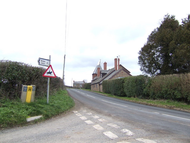
Image: © Jonathan Billinger Taken: 30 Jan 2007
An oast house by the road indicates the importance of hops to this part of Herefordshire in the past.
Images are licensed for reuse under creativecommons.org/licenses/by-sa/2.0
Image Location
Latitude
52.15167
Longitude
-2.511939