Prospect of Langley Park
Introduction
The photograph on this page of Prospect of Langley Park by Oliver Dixon as part of the Geograph project.
The Geograph project started in 2005 with the aim of publishing, organising and preserving representative images for every square kilometre of Great Britain, Ireland and the Isle of Man.

There are currently over 7.5m images from over 14,400 individuals and you can help contribute to the project by visiting https://www.geograph.org.uk
Prospect of Langley Park
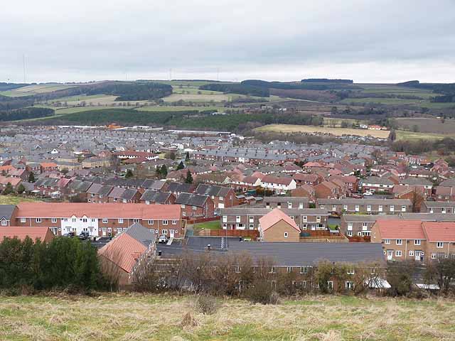
Image: © Oliver Dixon Taken: 15 Mar 2013
Former coal-mining village in the valley of the River Browney; seen from East Clere. The far hilltop is sprouting wind turbines, with the transmitter mast at Burnhope Image to the left.
Images are licensed for reuse under creativecommons.org/licenses/by-sa/2.0
Image Location
Latitude
54.797718
Longitude
-1.667889