Drayton Grange Farm
Introduction
The photograph on this page of Drayton Grange Farm by Richard cattel as part of the Geograph project.
The Geograph project started in 2005 with the aim of publishing, organising and preserving representative images for every square kilometre of Great Britain, Ireland and the Isle of Man.

There are currently over 7.5m images from over 14,400 individuals and you can help contribute to the project by visiting https://www.geograph.org.uk
Drayton Grange Farm
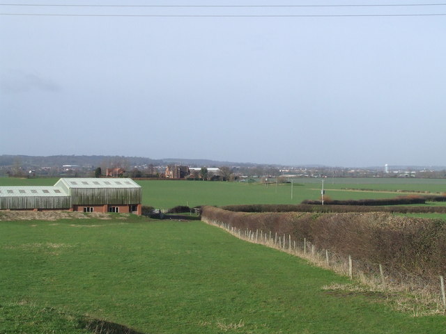
Image: © Richard cattel Taken: 13 Feb 2007
Taken from path to Witherly that leads from church, Atherstone is in the background and also the 3M water tower
Images are licensed for reuse under creativecommons.org/licenses/by-sa/2.0
Image Location


Leaflet Map data © OpenStreetMap
Latitude
52.571637
Longitude
-1.495489