Rising slope near Aireville Grange
Introduction
The photograph on this page of Rising slope near Aireville Grange by Trevor Littlewood as part of the Geograph project.
The Geograph project started in 2005 with the aim of publishing, organising and preserving representative images for every square kilometre of Great Britain, Ireland and the Isle of Man.

There are currently over 7.5m images from over 14,400 individuals and you can help contribute to the project by visiting https://www.geograph.org.uk
Rising slope near Aireville Grange
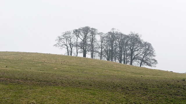
Image: © Trevor Littlewood Taken: 6 Mar 2013
Aireville Grange is in the north-western part of Skipton; the slope rises to the east of the grange to a high point at 163m in the vicinity of the trees.
Images are licensed for reuse under creativecommons.org/licenses/by-sa/2.0
Image Location
Latitude
53.965514
Longitude
-2.033955