Mitchel Troy Common
Introduction
The photograph on this page of Mitchel Troy Common by Jonathan Billinger as part of the Geograph project.
The Geograph project started in 2005 with the aim of publishing, organising and preserving representative images for every square kilometre of Great Britain, Ireland and the Isle of Man.

There are currently over 7.5m images from over 14,400 individuals and you can help contribute to the project by visiting https://www.geograph.org.uk
Mitchel Troy Common
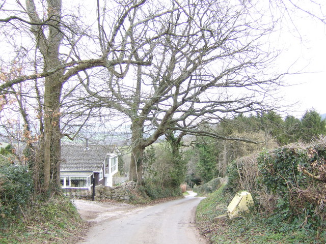
Image: © Jonathan Billinger Taken: 29 Jan 2007
This hillside community overlooks the Trothy valley to the north. This is a 20% gradient, or 1 in 5 in old money.
Images are licensed for reuse under creativecommons.org/licenses/by-sa/2.0
Image Location
Latitude
51.779856
Longitude
-2.739498