Barrow Hall junction
Introduction
The photograph on this page of Barrow Hall junction by Julieanne Savage as part of the Geograph project.
The Geograph project started in 2005 with the aim of publishing, organising and preserving representative images for every square kilometre of Great Britain, Ireland and the Isle of Man.

There are currently over 7.5m images from over 14,400 individuals and you can help contribute to the project by visiting https://www.geograph.org.uk
Barrow Hall junction
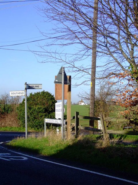
Image: © Julieanne Savage Taken: 10 Dec 2006
At the bottom of Stonebridge hill. You can go towards Southend, Rochford or Barling from here. The right hand junction leads to Barling church. Image
Images are licensed for reuse under creativecommons.org/licenses/by-sa/2.0
Image Location
Latitude
51.561917
Longitude
0.759351