Stainley House
Introduction
The photograph on this page of Stainley House by manonabike as part of the Geograph project.
The Geograph project started in 2005 with the aim of publishing, organising and preserving representative images for every square kilometre of Great Britain, Ireland and the Isle of Man.

There are currently over 7.5m images from over 14,400 individuals and you can help contribute to the project by visiting https://www.geograph.org.uk
Stainley House
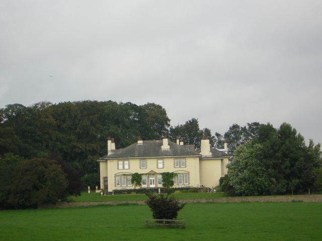
Image: © manonabike Taken: 27 Sep 2006
Grand House as seen from the Bridleway from Green Lane to Rakes Lane
Images are licensed for reuse under creativecommons.org/licenses/by-sa/2.0
Image Location
Latitude
54.056911
Longitude
-1.531753