Edburton Avenue
Introduction
The photograph on this page of Edburton Avenue by Simon Carey as part of the Geograph project.
The Geograph project started in 2005 with the aim of publishing, organising and preserving representative images for every square kilometre of Great Britain, Ireland and the Isle of Man.

There are currently over 7.5m images from over 14,400 individuals and you can help contribute to the project by visiting https://www.geograph.org.uk
Edburton Avenue
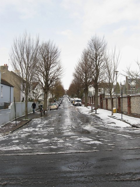
Image: © Simon Carey Taken: 12 Mar 2013
A residential road linking Rugby Road to Preston Drove that was developed from the 1860s onwards.
Images are licensed for reuse under creativecommons.org/licenses/by-sa/2.0
Image Location
Latitude
50.839974
Longitude
-0.135589