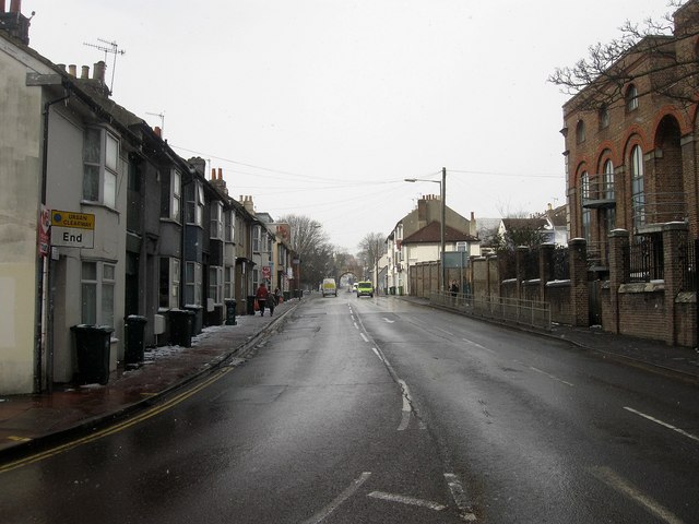
Hollingdean Road
Introduction
The photograph on this page of Hollingdean Road by Simon Carey as part of the Geograph project.
The Geograph project started in 2005 with the aim of publishing, organising and preserving representative images for every square kilometre of Great Britain, Ireland and the Isle of Man.
There are currently over 7.5m images from over 14,400 individuals and you can help contribute to the project by visiting https://www.geograph.org.uk

Image: © Simon Carey Taken: 12 Mar 2013
Looking westwards from its junction with the Vogue Gyratory, the road links the A270 with Ditchling Road. Originally known as Dog Kennel Road in the early 19th century and ran in a straight line along what is now Image and Florence Place. Towards the end of the 19th century The area immediately north of the former was developed as a corporation depot and a new route, Upper Hollingdean Road was built to go round it. The building on the immediate right is a former electricity sub station built in 1924.

