The Katesbridge bypass (1979)
Introduction
The photograph on this page of The Katesbridge bypass (1979) by Albert Bridge as part of the Geograph project.
The Geograph project started in 2005 with the aim of publishing, organising and preserving representative images for every square kilometre of Great Britain, Ireland and the Isle of Man.

There are currently over 7.5m images from over 14,400 individuals and you can help contribute to the project by visiting https://www.geograph.org.uk
The Katesbridge bypass (1979)
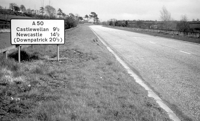
Image: © Albert Bridge Taken: 12 May 1979
See Image (November 2006) and Image (July 2009). Approaching the Castlewellan end of the bypass where there was a “road narrows” sign (just visible in the distance). This was (and still is) the only straight stretch of road between Ballydown and Castlewellan.
Images are licensed for reuse under creativecommons.org/licenses/by-sa/2.0
Image Location
Latitude
54.301139
Longitude
-6.137619