Afon Peris and Heol-yr-Esgob
Introduction
The photograph on this page of Afon Peris and Heol-yr-Esgob by Ian Capper as part of the Geograph project.
The Geograph project started in 2005 with the aim of publishing, organising and preserving representative images for every square kilometre of Great Britain, Ireland and the Isle of Man.

There are currently over 7.5m images from over 14,400 individuals and you can help contribute to the project by visiting https://www.geograph.org.uk
Afon Peris and Heol-yr-Esgob
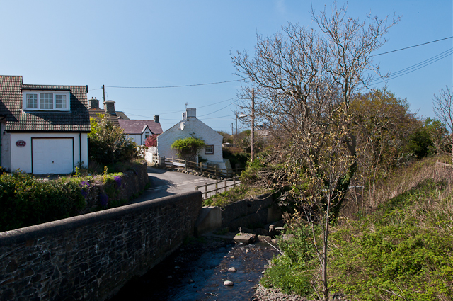
Image: © Ian Capper Taken: 12 Apr 2011
Houses in Heol-yr-Esgob overlooking Afon Peris as it drops down to the sea.
Images are licensed for reuse under creativecommons.org/licenses/by-sa/2.0
Image Location
Latitude
52.284958
Longitude
-4.182998