Turning circle by Mercer Park
Introduction
The photograph on this page of Turning circle by Mercer Park by Bill Boaden as part of the Geograph project.
The Geograph project started in 2005 with the aim of publishing, organising and preserving representative images for every square kilometre of Great Britain, Ireland and the Isle of Man.

There are currently over 7.5m images from over 14,400 individuals and you can help contribute to the project by visiting https://www.geograph.org.uk
Turning circle by Mercer Park
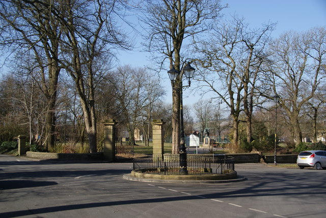
Image: © Bill Boaden Taken: 2 Mar 2013
All Saints Church is to the left here. A quiet and historical corner of Clayton-le-Moors.
Images are licensed for reuse under creativecommons.org/licenses/by-sa/2.0
Image Location
Latitude
53.774166
Longitude
-2.388549