Bridge Street, Bargoed
Introduction
The photograph on this page of Bridge Street, Bargoed by Robin Drayton as part of the Geograph project.
The Geograph project started in 2005 with the aim of publishing, organising and preserving representative images for every square kilometre of Great Britain, Ireland and the Isle of Man.

There are currently over 7.5m images from over 14,400 individuals and you can help contribute to the project by visiting https://www.geograph.org.uk
Bridge Street, Bargoed
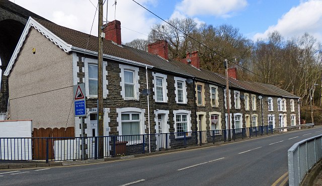
Image: © Robin Drayton Taken: 13 Mar 2013
Bargoed Viaduct is just visible behind this row of houses. This is the road that crosses the Rhymney Valley and until recent years was the only connection between Bargoed and Aberbargoed.
Images are licensed for reuse under creativecommons.org/licenses/by-sa/2.0
Image Location
Latitude
51.694991
Longitude
-3.231054