Coventry: Upper Precinct, 1962
Introduction
The photograph on this page of Coventry: Upper Precinct, 1962 by Ben Brooksbank as part of the Geograph project.
The Geograph project started in 2005 with the aim of publishing, organising and preserving representative images for every square kilometre of Great Britain, Ireland and the Isle of Man.

There are currently over 7.5m images from over 14,400 individuals and you can help contribute to the project by visiting https://www.geograph.org.uk
Coventry: Upper Precinct, 1962
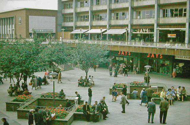
Image: © Ben Brooksbank Taken: 3 Sep 1962
Part of the New Coventry, as it was in 1962. (Note that the people are all smartly dressed and the genders are readily distinguishable)!
Images are licensed for reuse under creativecommons.org/licenses/by-sa/2.0
Image Location
Latitude
52.407539
Longitude
-1.509711