A39 in Bilbrook
Introduction
The photograph on this page of A39 in Bilbrook by David Smith as part of the Geograph project.
The Geograph project started in 2005 with the aim of publishing, organising and preserving representative images for every square kilometre of Great Britain, Ireland and the Isle of Man.

There are currently over 7.5m images from over 14,400 individuals and you can help contribute to the project by visiting https://www.geograph.org.uk
A39 in Bilbrook
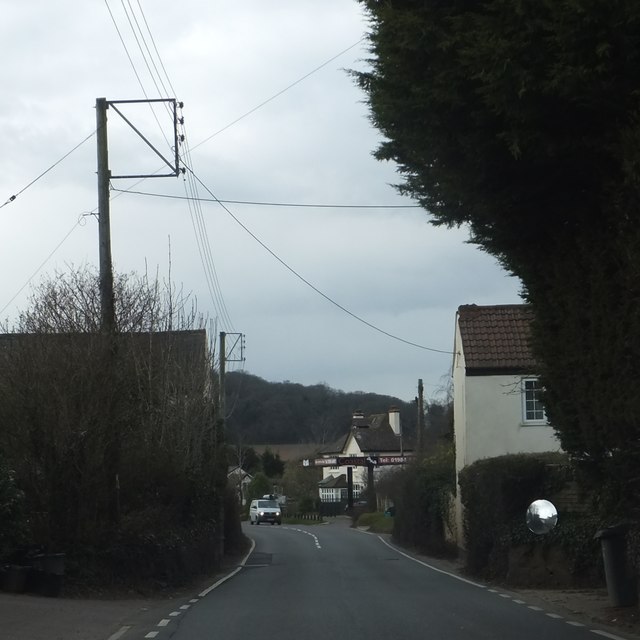
Image: © David Smith Taken: 12 Mar 2013
The houses which abut the road were constructed long before this became a busy road!
Images are licensed for reuse under creativecommons.org/licenses/by-sa/2.0
Image Location


Leaflet Map data © OpenStreetMap
Latitude
51.160276
Longitude
-3.387946