The Aisha Mosque and Islamic Centre
Introduction
The photograph on this page of The Aisha Mosque and Islamic Centre by Richard Law as part of the Geograph project.
The Geograph project started in 2005 with the aim of publishing, organising and preserving representative images for every square kilometre of Great Britain, Ireland and the Isle of Man.

There are currently over 7.5m images from over 14,400 individuals and you can help contribute to the project by visiting https://www.geograph.org.uk
The Aisha Mosque and Islamic Centre
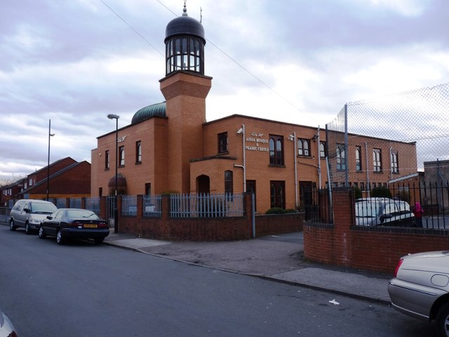
Image: © Richard Law Taken: 14 Mar 2013
A redevelopment of a former Christian church site, judging by the 'church-with-a-tower' symbol on the OS maps, this large Islamic Centre lies between Rutter and Camden Streets.
Images are licensed for reuse under creativecommons.org/licenses/by-sa/2.0
Image Location
Latitude
52.576666
Longitude
-1.984905