Looking across Rosehill Park West to St Helier Hospital
Introduction
The photograph on this page of Looking across Rosehill Park West to St Helier Hospital by Marathon as part of the Geograph project.
The Geograph project started in 2005 with the aim of publishing, organising and preserving representative images for every square kilometre of Great Britain, Ireland and the Isle of Man.

There are currently over 7.5m images from over 14,400 individuals and you can help contribute to the project by visiting https://www.geograph.org.uk
Looking across Rosehill Park West to St Helier Hospital
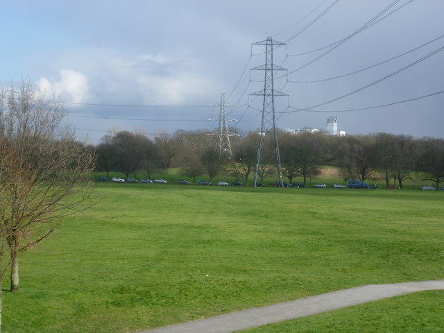
Image: © Marathon Taken: 13 Mar 2013
This view looks from the footbridge across Reigate Avenue (A217) and Rosehill Park West towards Greenshaw Wood and St Helier Hospital in the distance. Greenshaw Wood lies within the public park known as Rosehill Park East. A strip of oak woodland formerly ran in a crescent from the site of the present St Helier Hospital south to a larger tract of woodland depicted on the First Edition Ordnance Survey Map as Been Hill. This strip of woodland was felled before 1815 and Been Hill became the new suburb of Benhilton. Greenshaw Wood is all that remains of these former ancient woods showing up with exactly the same boundaries as today on the Ordnance survey Map of 1866. St Helier Hospital can be seen from large swathes of South London, being as it is on a hilltop and coloured white - see http://www.geograph.org.uk/photo/2981083 also http://www.geograph.org.uk/photo/3551975 and http://www.geograph.org.uk/photo/1884008
Images are licensed for reuse under creativecommons.org/licenses/by-sa/2.0
Image Location
Latitude
51.380825
Longitude
-0.193451