The Manor, Colley Lane
Introduction
The photograph on this page of The Manor, Colley Lane by Ian Capper as part of the Geograph project.
The Geograph project started in 2005 with the aim of publishing, organising and preserving representative images for every square kilometre of Great Britain, Ireland and the Isle of Man.

There are currently over 7.5m images from over 14,400 individuals and you can help contribute to the project by visiting https://www.geograph.org.uk
The Manor, Colley Lane
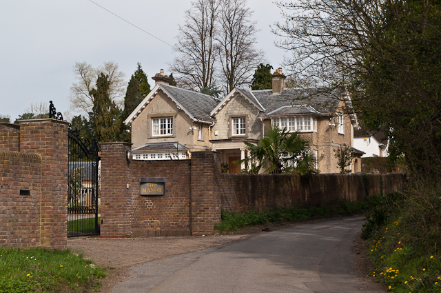
Image: © Ian Capper Taken: 2 Apr 2011
House on Colley Lane near its junction with West Street. (This would appear to be its official name according to the Royal Mail and Reigate and Banstead District Council, as well as being the name on the gate, but it is marked on maps as Colley Manor, the name of an earlier building where Colley Manor Drive is now, around 200m to the west.) Older maps mark it as Colley Cottage.
Images are licensed for reuse under creativecommons.org/licenses/by-sa/2.0
Image Location
Latitude
51.241034
Longitude
-0.221139