The A590 at Greenodd
Introduction
The photograph on this page of The A590 at Greenodd by Peter Turner as part of the Geograph project.
The Geograph project started in 2005 with the aim of publishing, organising and preserving representative images for every square kilometre of Great Britain, Ireland and the Isle of Man.

There are currently over 7.5m images from over 14,400 individuals and you can help contribute to the project by visiting https://www.geograph.org.uk
The A590 at Greenodd
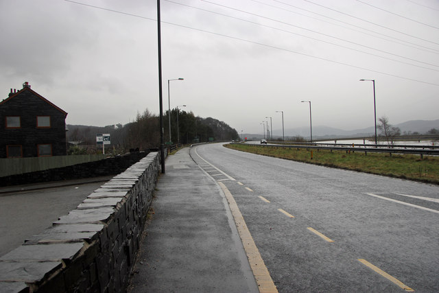
Image: © Peter Turner Taken: 10 Feb 2013
Looking north with the Leven estuary with footbridge to the right beyond the dual carriageway.
Images are licensed for reuse under creativecommons.org/licenses/by-sa/2.0
Image Location
Latitude
54.233337
Longitude
-3.051924