Path from Corporation Road to Rodney Road, Newport
Introduction
The photograph on this page of Path from Corporation Road to Rodney Road, Newport by Jaggery as part of the Geograph project.
The Geograph project started in 2005 with the aim of publishing, organising and preserving representative images for every square kilometre of Great Britain, Ireland and the Isle of Man.

There are currently over 7.5m images from over 14,400 individuals and you can help contribute to the project by visiting https://www.geograph.org.uk
Path from Corporation Road to Rodney Road, Newport
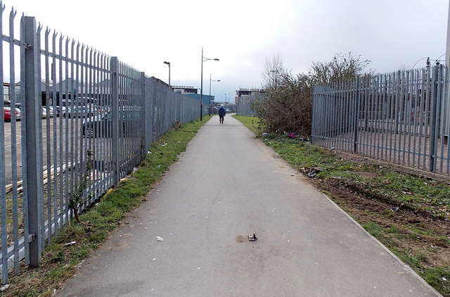
Image: © Jaggery Taken: 13 Mar 2013
The fence on the left is the perimeter of Newport Bus depot and garage. The fence on the right is the perimeter of an electricity substation.
Images are licensed for reuse under creativecommons.org/licenses/by-sa/2.0
Image Location
Latitude
51.586721
Longitude
-2.984332