Fetters Lane
Introduction
The photograph on this page of Fetters Lane by Barbara Carr as part of the Geograph project.
The Geograph project started in 2005 with the aim of publishing, organising and preserving representative images for every square kilometre of Great Britain, Ireland and the Isle of Man.

There are currently over 7.5m images from over 14,400 individuals and you can help contribute to the project by visiting https://www.geograph.org.uk
Fetters Lane
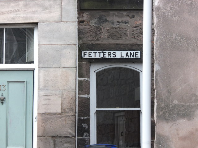
Image: © Barbara Carr Taken: 27 Jan 2013
It is reputed that every fetter and shackle for the slave-trade was made at the old ironworks here. A chilling thought.
Images are licensed for reuse under creativecommons.org/licenses/by-sa/2.0
Image Location
Latitude
55.76315
Longitude
-2.007783