Emmerson Lane
Introduction
The photograph on this page of Emmerson Lane by Peter Wood as part of the Geograph project.
The Geograph project started in 2005 with the aim of publishing, organising and preserving representative images for every square kilometre of Great Britain, Ireland and the Isle of Man.

There are currently over 7.5m images from over 14,400 individuals and you can help contribute to the project by visiting https://www.geograph.org.uk
Emmerson Lane
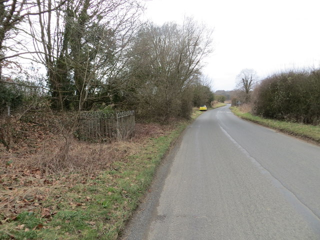
Image: © Peter Wood Taken: 12 Mar 2013
Looking south-west down Emmerson Lane from the Gas Plant. The small railed area on the left contains an Ordnance Survey Fundamental Bench Mark.
Images are licensed for reuse under creativecommons.org/licenses/by-sa/2.0
Image Location
Latitude
51.724608
Longitude
-2.073049