Behind the church
Introduction
The photograph on this page of Behind the church by Richard Dorrell as part of the Geograph project.
The Geograph project started in 2005 with the aim of publishing, organising and preserving representative images for every square kilometre of Great Britain, Ireland and the Isle of Man.

There are currently over 7.5m images from over 14,400 individuals and you can help contribute to the project by visiting https://www.geograph.org.uk
Behind the church
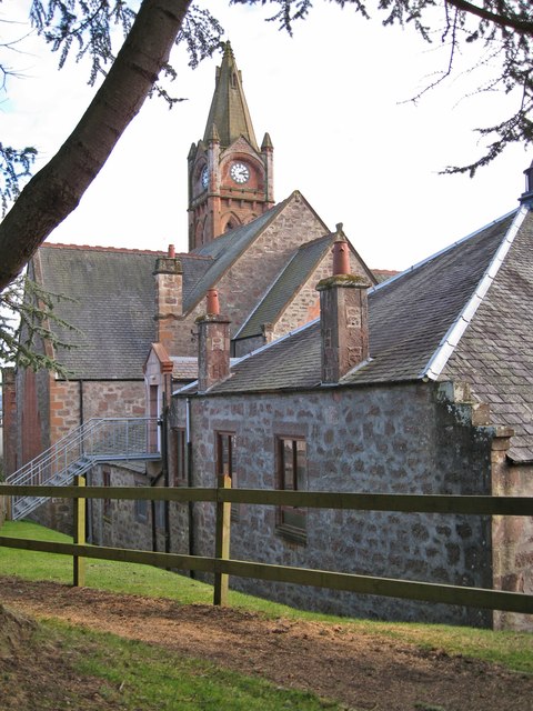
Image: © Richard Dorrell Taken: 24 Feb 2013
Blairgowrie Parish Church as seen from a pedestrian entrance from Newton Terrace. The church was built between 1902 and 1904.
Images are licensed for reuse under creativecommons.org/licenses/by-sa/2.0
Image Location
Latitude
56.593432
Longitude
-3.342304