The Kingfisher inn, at junction of A4074 and Wharf Road
Introduction
The photograph on this page of The Kingfisher inn, at junction of A4074 and Wharf Road by Roger Templeman as part of the Geograph project.
The Geograph project started in 2005 with the aim of publishing, organising and preserving representative images for every square kilometre of Great Britain, Ireland and the Isle of Man.

There are currently over 7.5m images from over 14,400 individuals and you can help contribute to the project by visiting https://www.geograph.org.uk
The Kingfisher inn, at junction of A4074 and Wharf Road
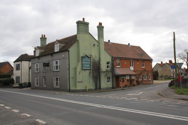
Image: © Roger Templeman Taken: 12 Mar 2013
The Ordnance Survey cut a benchmark, http://www.bench-marks.org.uk/bm19838 on the near corner (road face) of the pub, then the 'New Inn', in the 1850s. The pub walls are now rendered which would hide the mark if the building is the original.
Images are licensed for reuse under creativecommons.org/licenses/by-sa/2.0
Image Location
Latitude
51.631144
Longitude
-1.141754