Coniston House
Introduction
The photograph on this page of Coniston House by John M as part of the Geograph project.
The Geograph project started in 2005 with the aim of publishing, organising and preserving representative images for every square kilometre of Great Britain, Ireland and the Isle of Man.

There are currently over 7.5m images from over 14,400 individuals and you can help contribute to the project by visiting https://www.geograph.org.uk
Coniston House
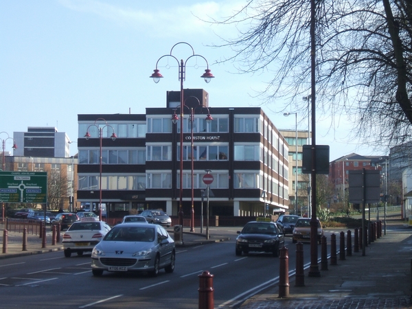
Image: © John M Taken: 11 Feb 2007
1960s office block on the junction between Chapel Ash and the ring road now used as offices for the local NHS Primary Care Trust.
Images are licensed for reuse under creativecommons.org/licenses/by-sa/2.0
Image Location
Latitude
52.584409
Longitude
-2.135888