Leitrim Road at its junction with the B25 (Rostrevor Road)
Introduction
The photograph on this page of Leitrim Road at its junction with the B25 (Rostrevor Road) by Eric Jones as part of the Geograph project.
The Geograph project started in 2005 with the aim of publishing, organising and preserving representative images for every square kilometre of Great Britain, Ireland and the Isle of Man.

There are currently over 7.5m images from over 14,400 individuals and you can help contribute to the project by visiting https://www.geograph.org.uk
Leitrim Road at its junction with the B25 (Rostrevor Road)
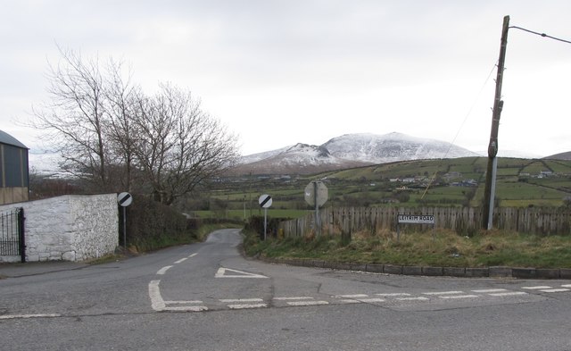
Image: © Eric Jones Taken: 12 Mar 2013
The Hen Mountain and Cock Mountain in the background have a coating of March snow.
Images are licensed for reuse under creativecommons.org/licenses/by-sa/2.0
Image Location
Latitude
54.191601
Longitude
-6.142855