Windmill Close, Sneinton
Introduction
The photograph on this page of Windmill Close, Sneinton by Alan Murray-Rust as part of the Geograph project.
The Geograph project started in 2005 with the aim of publishing, organising and preserving representative images for every square kilometre of Great Britain, Ireland and the Isle of Man.

There are currently over 7.5m images from over 14,400 individuals and you can help contribute to the project by visiting https://www.geograph.org.uk
Windmill Close, Sneinton
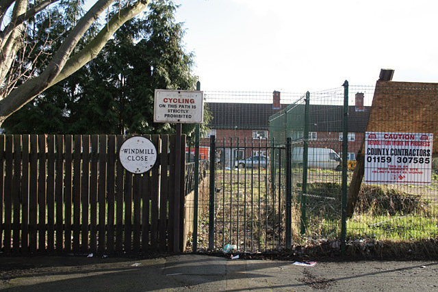
Image: © Alan Murray-Rust Taken: 11 Feb 2007
The circular cast-iron street name was the standard Nottingham design for tween-wars housing estates. The prohibition of cycling is currently superfluous.
Images are licensed for reuse under creativecommons.org/licenses/by-sa/2.0
Image Location
Latitude
52.955175
Longitude
-1.129327