The former site of Napierston Farm
Introduction
The photograph on this page of The former site of Napierston Farm by Lairich Rig as part of the Geograph project.
The Geograph project started in 2005 with the aim of publishing, organising and preserving representative images for every square kilometre of Great Britain, Ireland and the Isle of Man.

There are currently over 7.5m images from over 14,400 individuals and you can help contribute to the project by visiting https://www.geograph.org.uk
The former site of Napierston Farm
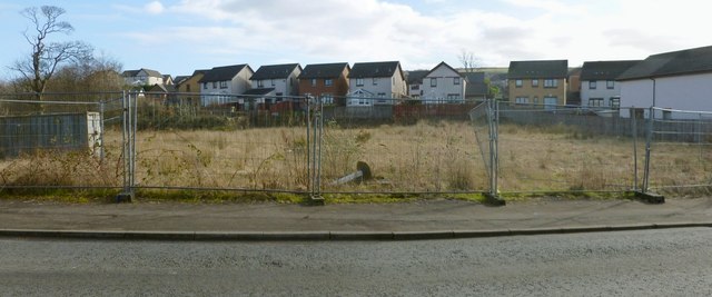
Image: © Lairich Rig Taken: 1 Mar 2013
This is a view across Napierston Road. The open space behind the fence was the site of Napierston Farm, which was demolished in recent years. For much more information, see Image and Image The houses in the background of the present photograph are in an area that is known as the Steadings, an allusion to the former presence of the farm. For a view through the fence, see Image
Images are licensed for reuse under creativecommons.org/licenses/by-sa/2.0
Image Location
Latitude
55.992925
Longitude
-4.567743