The Carrochan Burn
Introduction
The photograph on this page of The Carrochan Burn by Lairich Rig as part of the Geograph project.
The Geograph project started in 2005 with the aim of publishing, organising and preserving representative images for every square kilometre of Great Britain, Ireland and the Isle of Man.

There are currently over 7.5m images from over 14,400 individuals and you can help contribute to the project by visiting https://www.geograph.org.uk
The Carrochan Burn
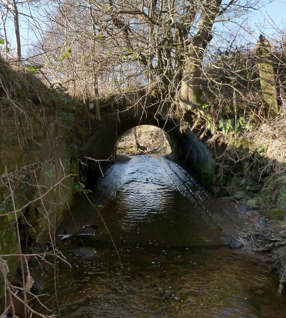
Image: © Lairich Rig Taken: 25 Feb 2013
This is a view downstream. This section of the burn flows immediately to the north-east of a Image On the far side of the tunnel, a little tributary burn (see Image) flows into the Carrochan Burn; the latter then turns WSW. See Image for a view from almost 600 metres further downstream, where the burn is crossed by a different footpath.
Images are licensed for reuse under creativecommons.org/licenses/by-sa/2.0
Image Location
Latitude
56.00235
Longitude
-4.555376