Westerham Close, New Haw
Introduction
The photograph on this page of Westerham Close, New Haw by David Howard as part of the Geograph project.
The Geograph project started in 2005 with the aim of publishing, organising and preserving representative images for every square kilometre of Great Britain, Ireland and the Isle of Man.

There are currently over 7.5m images from over 14,400 individuals and you can help contribute to the project by visiting https://www.geograph.org.uk
Westerham Close, New Haw
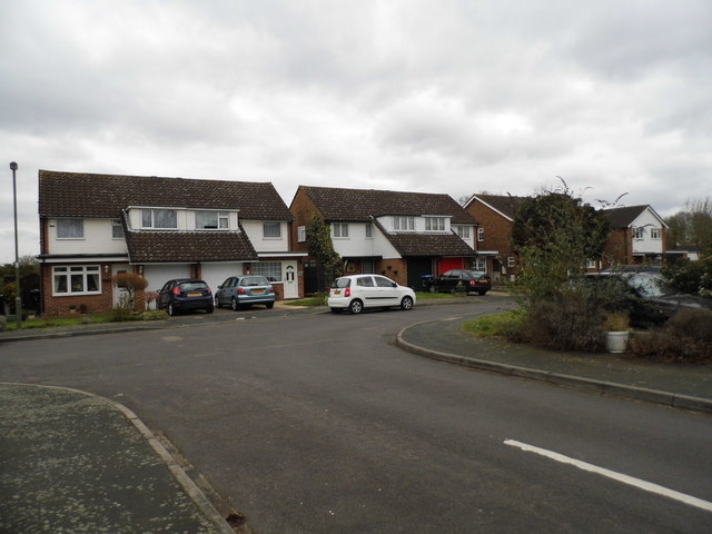
Image: © David Howard Taken: 11 Mar 2013
Typical houses of the 1960s-70s with white wood panelling
Images are licensed for reuse under creativecommons.org/licenses/by-sa/2.0
Image Location
Latitude
51.360606
Longitude
-0.486404