Stillingfleet Beck
Introduction
The photograph on this page of Stillingfleet Beck by Trevor Littlewood as part of the Geograph project.
The Geograph project started in 2005 with the aim of publishing, organising and preserving representative images for every square kilometre of Great Britain, Ireland and the Isle of Man.

There are currently over 7.5m images from over 14,400 individuals and you can help contribute to the project by visiting https://www.geograph.org.uk
Stillingfleet Beck
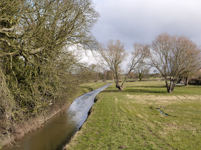
Image: © Trevor Littlewood Taken: 11 Mar 2013
Stillingfleet Beck passes through the village of Stillingfleet and feeds into the River Ouse a little over a mile from this location. The image was recorded from a bridge carrying the B1222 across the beck; the bridge has a bronze plaque telling of a flood there in March 1947 at a depth of 21 feet.
Images are licensed for reuse under creativecommons.org/licenses/by-sa/2.0
Image Location
Latitude
53.861561
Longitude
-1.098461