Aller Road at the Barn Owl
Introduction
The photograph on this page of Aller Road at the Barn Owl by Derek Harper as part of the Geograph project.
The Geograph project started in 2005 with the aim of publishing, organising and preserving representative images for every square kilometre of Great Britain, Ireland and the Isle of Man.

There are currently over 7.5m images from over 14,400 individuals and you can help contribute to the project by visiting https://www.geograph.org.uk
Aller Road at the Barn Owl
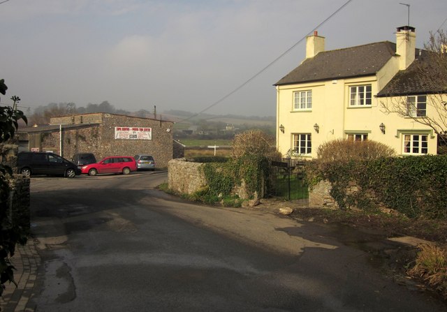
Image: © Derek Harper Taken: 5 Mar 2013
The Barn Owl is also shown in Image] and Image It was originally a C17 farmhouse http://list.english-heritage.org.uk/resultsingle.aspx?uid=1164848&searchtype=mapsearch . To the left is Aller Mills, home to a roofing business. Behind is the junction signpost shown in Image
Images are licensed for reuse under creativecommons.org/licenses/by-sa/2.0
Image Location
Latitude
50.509716
Longitude
-3.585407