Snowed fields near to Wadshelf
Introduction
The photograph on this page of Snowed fields near to Wadshelf by Trevor Littlewood as part of the Geograph project.
The Geograph project started in 2005 with the aim of publishing, organising and preserving representative images for every square kilometre of Great Britain, Ireland and the Isle of Man.

There are currently over 7.5m images from over 14,400 individuals and you can help contribute to the project by visiting https://www.geograph.org.uk
Snowed fields near to Wadshelf
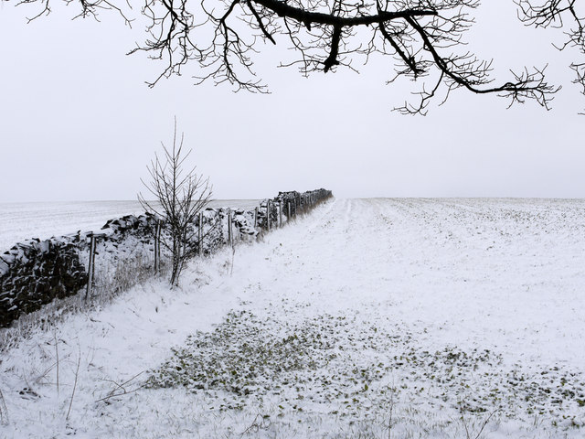
Image: © Trevor Littlewood Taken: 10 Mar 2013
The fields lie to the south-west of the A619 which here is descending towards Chesterfield.
Images are licensed for reuse under creativecommons.org/licenses/by-sa/2.0
Image Location
Latitude
53.235216
Longitude
-1.535069