The Punch Bowl at Satley
Introduction
The photograph on this page of The Punch Bowl at Satley by Robert Graham as part of the Geograph project.
The Geograph project started in 2005 with the aim of publishing, organising and preserving representative images for every square kilometre of Great Britain, Ireland and the Isle of Man.

There are currently over 7.5m images from over 14,400 individuals and you can help contribute to the project by visiting https://www.geograph.org.uk
The Punch Bowl at Satley
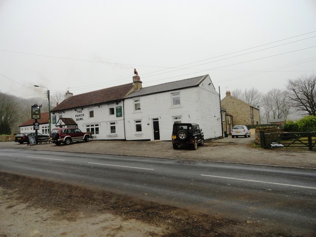
Image: © Robert Graham Taken: 6 Mar 2013
This is only pub remaining in the little agricultural village of Satley, on the road between Tow Law and Lanchester. It has always had a good reputation for meals, perhaps the reason it's still open.
Images are licensed for reuse under creativecommons.org/licenses/by-sa/2.0
Image Location
Latitude
54.784737
Longitude
-1.818977