Looking towards Howe's Farm
Introduction
The photograph on this page of Looking towards Howe's Farm by Hugh Venables as part of the Geograph project.
The Geograph project started in 2005 with the aim of publishing, organising and preserving representative images for every square kilometre of Great Britain, Ireland and the Isle of Man.

There are currently over 7.5m images from over 14,400 individuals and you can help contribute to the project by visiting https://www.geograph.org.uk
Looking towards Howe's Farm
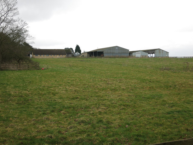
Image: © Hugh Venables Taken: 9 Mar 2013
This will soon be one of the access points into the north-west Cambridge development, which is converting the University Farm into a mix of residential and academic uses. It will also help link Huntingdon and Madingley Road and provide additional services to the west of Cambridge.
Images are licensed for reuse under creativecommons.org/licenses/by-sa/2.0
Image Location
Latitude
52.229136
Longitude
0.079469