Lindwell Methodist Church from below
Introduction
The photograph on this page of Lindwell Methodist Church from below by Humphrey Bolton as part of the Geograph project.
The Geograph project started in 2005 with the aim of publishing, organising and preserving representative images for every square kilometre of Great Britain, Ireland and the Isle of Man.

There are currently over 7.5m images from over 14,400 individuals and you can help contribute to the project by visiting https://www.geograph.org.uk
Lindwell Methodist Church from below
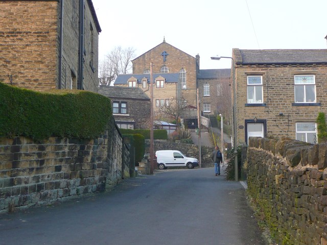
Image: © Humphrey Bolton Taken: 5 Mar 2013
This street doesn't seem to have a name; I think the house numbers are for Hoults Lane on the left and Wellgate centre and right.
Images are licensed for reuse under creativecommons.org/licenses/by-sa/2.0
Image Location
Latitude
53.689779
Longitude
-1.860951