Dunnington House Common Road
Introduction
The photograph on this page of Dunnington House Common Road by Martin Dawes as part of the Geograph project.
The Geograph project started in 2005 with the aim of publishing, organising and preserving representative images for every square kilometre of Great Britain, Ireland and the Isle of Man.

There are currently over 7.5m images from over 14,400 individuals and you can help contribute to the project by visiting https://www.geograph.org.uk
Dunnington House Common Road
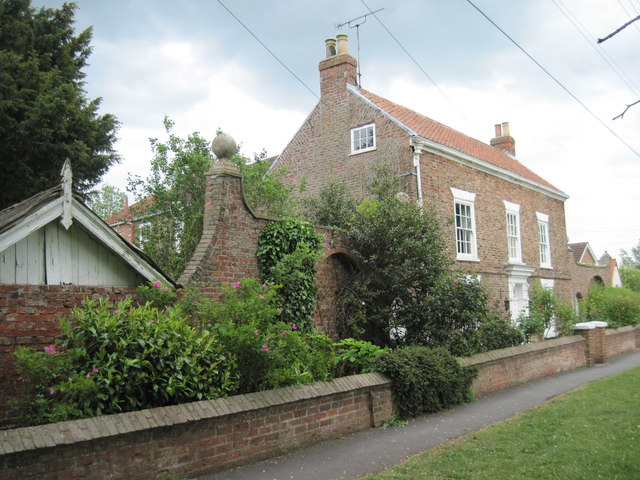
Image: © Martin Dawes Taken: 11 May 2011
Late 18th century with screen walls to left and right with round-arched recesses and ball finials.
Images are licensed for reuse under creativecommons.org/licenses/by-sa/2.0
Image Location
Latitude
53.963687
Longitude
-0.977519