Plantation Way, Torquay
Introduction
The photograph on this page of Plantation Way, Torquay by Derek Harper as part of the Geograph project.
The Geograph project started in 2005 with the aim of publishing, organising and preserving representative images for every square kilometre of Great Britain, Ireland and the Isle of Man.

There are currently over 7.5m images from over 14,400 individuals and you can help contribute to the project by visiting https://www.geograph.org.uk
Plantation Way, Torquay
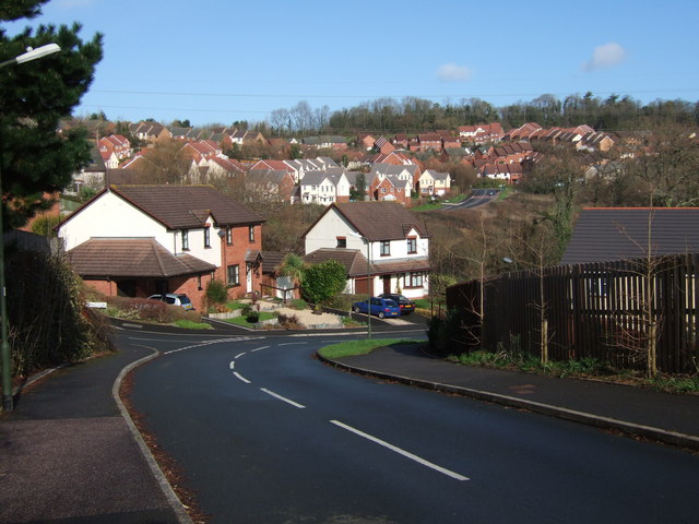
Image: © Derek Harper Taken: 11 Feb 2007
A view that includes other roads in this western sector of the new town northwest of Torquay. In the middle distance, Centenary Way meets Osprey Drive, and from then on it's birds all the way; the houses this side of Killpark Plantation on the horizon for instance, are on Shearwater Drive and Peregrine Close.
Images are licensed for reuse under creativecommons.org/licenses/by-sa/2.0
Image Location
Latitude
50.490003
Longitude
-3.560076