Field path near Firth House
Introduction
The photograph on this page of Field path near Firth House by Humphrey Bolton as part of the Geograph project.
The Geograph project started in 2005 with the aim of publishing, organising and preserving representative images for every square kilometre of Great Britain, Ireland and the Isle of Man.

There are currently over 7.5m images from over 14,400 individuals and you can help contribute to the project by visiting https://www.geograph.org.uk
Field path near Firth House
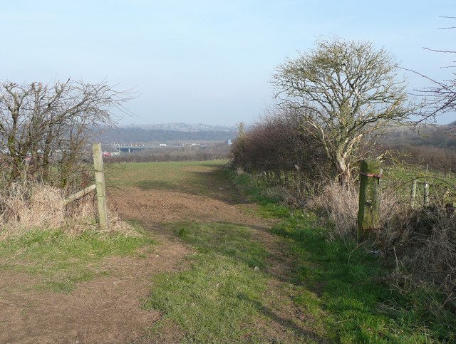
Image: © Humphrey Bolton Taken: 4 Mar 2013
This is a connecting path between two paths that lead to Bradley Wood.
Images are licensed for reuse under creativecommons.org/licenses/by-sa/2.0
Image Location
Latitude
53.689368
Longitude
-1.769188