Firth House and Firth House Lane
Introduction
The photograph on this page of Firth House and Firth House Lane by Humphrey Bolton as part of the Geograph project.
The Geograph project started in 2005 with the aim of publishing, organising and preserving representative images for every square kilometre of Great Britain, Ireland and the Isle of Man.

There are currently over 7.5m images from over 14,400 individuals and you can help contribute to the project by visiting https://www.geograph.org.uk
Firth House and Firth House Lane
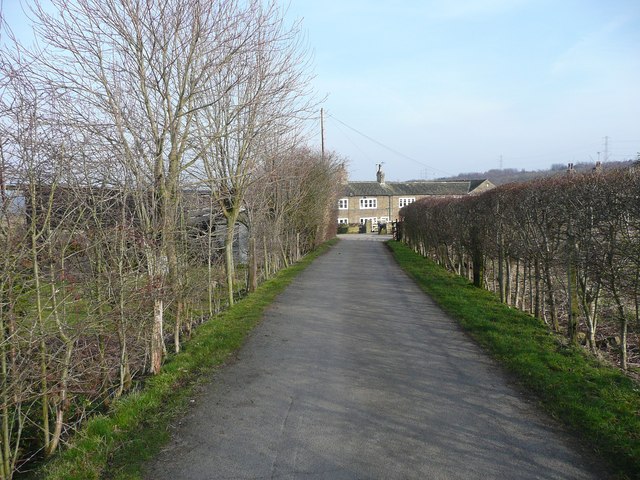
Image: © Humphrey Bolton Taken: 4 Mar 2013
Firth House is a hamlet that has developed from a (probably) medieval farmstead. The status of the roads leading to such groups of houses varies from one former local authority area to another. In some places roads that lead to more than one property are geverally adopted highways, but in the Calderdale area they tend to be classed as unadopted streets.
Images are licensed for reuse under creativecommons.org/licenses/by-sa/2.0
Image Location
Latitude
53.688653
Longitude
-1.771312