Fort Augustus Locks
Introduction
The photograph on this page of Fort Augustus Locks by Stephen McKay as part of the Geograph project.
The Geograph project started in 2005 with the aim of publishing, organising and preserving representative images for every square kilometre of Great Britain, Ireland and the Isle of Man.

There are currently over 7.5m images from over 14,400 individuals and you can help contribute to the project by visiting https://www.geograph.org.uk
Fort Augustus Locks
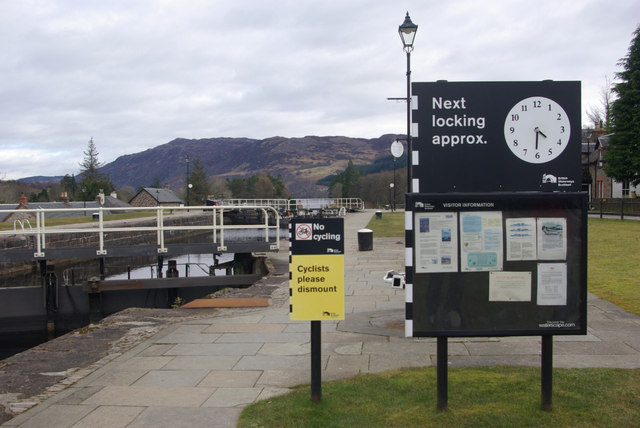
Image: © Stephen McKay Taken: 2 Mar 2013
The top of the five locks that take the Caledonian Canal down to Loch Ness.
Images are licensed for reuse under creativecommons.org/licenses/by-sa/2.0
Image Location
Latitude
57.144352
Longitude
-4.685373