The railway lines and flats from Primrose Hill footbridge
Introduction
The photograph on this page of The railway lines and flats from Primrose Hill footbridge by David Howard as part of the Geograph project.
The Geograph project started in 2005 with the aim of publishing, organising and preserving representative images for every square kilometre of Great Britain, Ireland and the Isle of Man.

There are currently over 7.5m images from over 14,400 individuals and you can help contribute to the project by visiting https://www.geograph.org.uk
The railway lines and flats from Primrose Hill footbridge
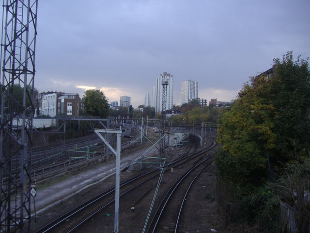
Image: © David Howard Taken: 30 Oct 2008
After being reduced to a single train out and back a day, British Rail closed Primrose Hill station in 1992, citing 'lack of usage' in order to carry out their wishes. The station building was just behind me by the bridge.
Images are licensed for reuse under creativecommons.org/licenses/by-sa/2.0
Image Location
Latitude
51.543
Longitude
-0.155597