Sturminster Newton
Introduction
The photograph on this page of Sturminster Newton by Maigheach-gheal as part of the Geograph project.
The Geograph project started in 2005 with the aim of publishing, organising and preserving representative images for every square kilometre of Great Britain, Ireland and the Isle of Man.

There are currently over 7.5m images from over 14,400 individuals and you can help contribute to the project by visiting https://www.geograph.org.uk
Sturminster Newton
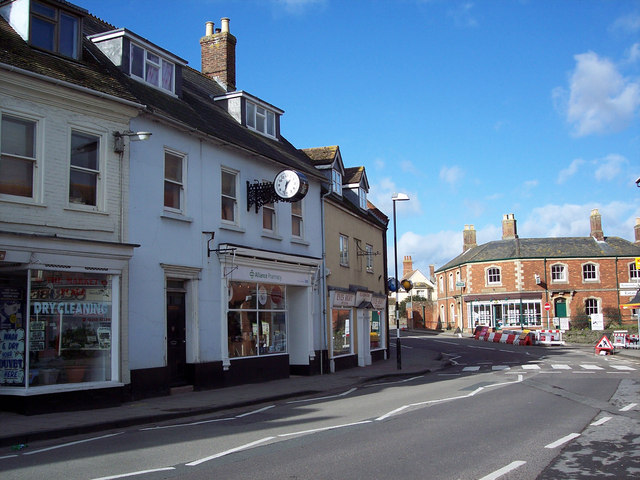
Image: © Maigheach-gheal Taken: 11 Feb 2007
The town's name is derived from its church or 'minster', and the River Stour which flows round the town. It has been the market centre for the rich Stour farmlands since the 13th century. The town suffered badly from two fires in 1681 and 1759, but still retains many old thatched house, as well as pleasant bow-windowed buildings of brick, stone and cob. The town has associations with two notable literary figures, William Barnes and Thomas Hardy.
Images are licensed for reuse under creativecommons.org/licenses/by-sa/2.0
Image Location
Latitude
50.926314
Longitude
-2.305287