St Werburgh's Road, Chorlton
Introduction
The photograph on this page of St Werburgh's Road, Chorlton by Phil Champion as part of the Geograph project.
The Geograph project started in 2005 with the aim of publishing, organising and preserving representative images for every square kilometre of Great Britain, Ireland and the Isle of Man.

There are currently over 7.5m images from over 14,400 individuals and you can help contribute to the project by visiting https://www.geograph.org.uk
St Werburgh's Road, Chorlton
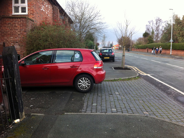
Image: © Phil Champion Taken: 17 Mar 2012
Looking north in the direction of the tram stop. The building on the left is converted barn at Park Brow Farm.
Images are licensed for reuse under creativecommons.org/licenses/by-sa/2.0
Image Location
Latitude
53.437798
Longitude
-2.266853