Houses at Furze Hill
Introduction
The photograph on this page of Houses at Furze Hill by Brian Westlake as part of the Geograph project.
The Geograph project started in 2005 with the aim of publishing, organising and preserving representative images for every square kilometre of Great Britain, Ireland and the Isle of Man.

There are currently over 7.5m images from over 14,400 individuals and you can help contribute to the project by visiting https://www.geograph.org.uk
Houses at Furze Hill
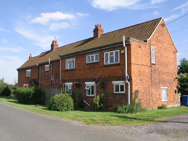
Image: © Brian Westlake Taken: 9 Aug 2012
The nearest angle carries a cut bench mark almost hidden by the down pipe. See http://www.geograph.org.uk/photo/3362243 for a close-up.
Images are licensed for reuse under creativecommons.org/licenses/by-sa/2.0
Image Location
Latitude
53.33109
Longitude
-0.637717