Cottages on Water Lane, Ospringe
Introduction
The photograph on this page of Cottages on Water Lane, Ospringe by pam fray as part of the Geograph project.
The Geograph project started in 2005 with the aim of publishing, organising and preserving representative images for every square kilometre of Great Britain, Ireland and the Isle of Man.

There are currently over 7.5m images from over 14,400 individuals and you can help contribute to the project by visiting https://www.geograph.org.uk
Cottages on Water Lane, Ospringe
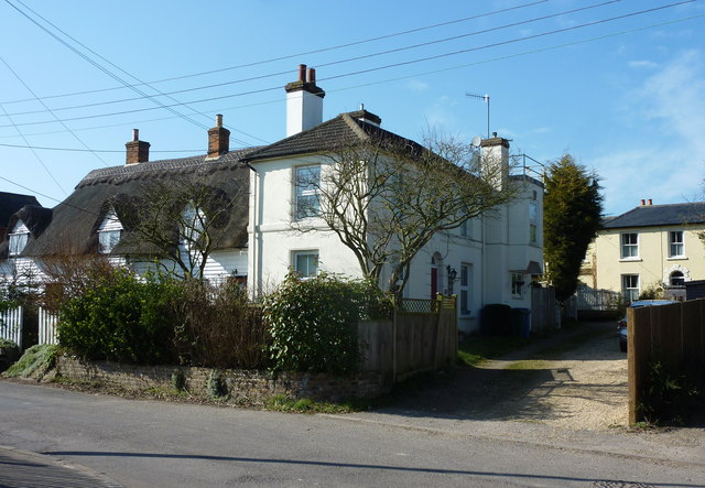
Image: © pam fray Taken: 5 Mar 2013
The thatched cottages are Grade II listed buildings. Miller's House, on the right, used to be adjacent to a windmill that was dismantled in 1915.
Images are licensed for reuse under creativecommons.org/licenses/by-sa/2.0
Image Location
Latitude
51.30965
Longitude
0.87104